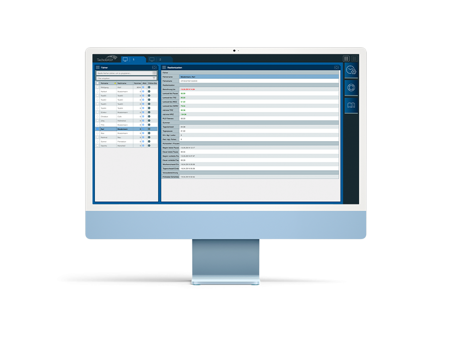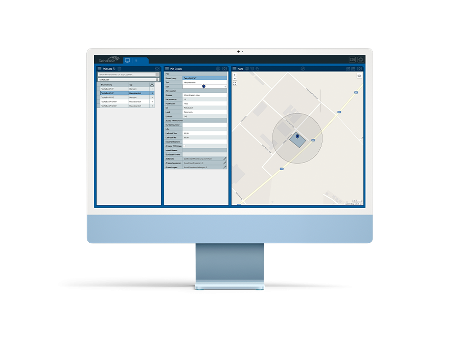
POI Master file
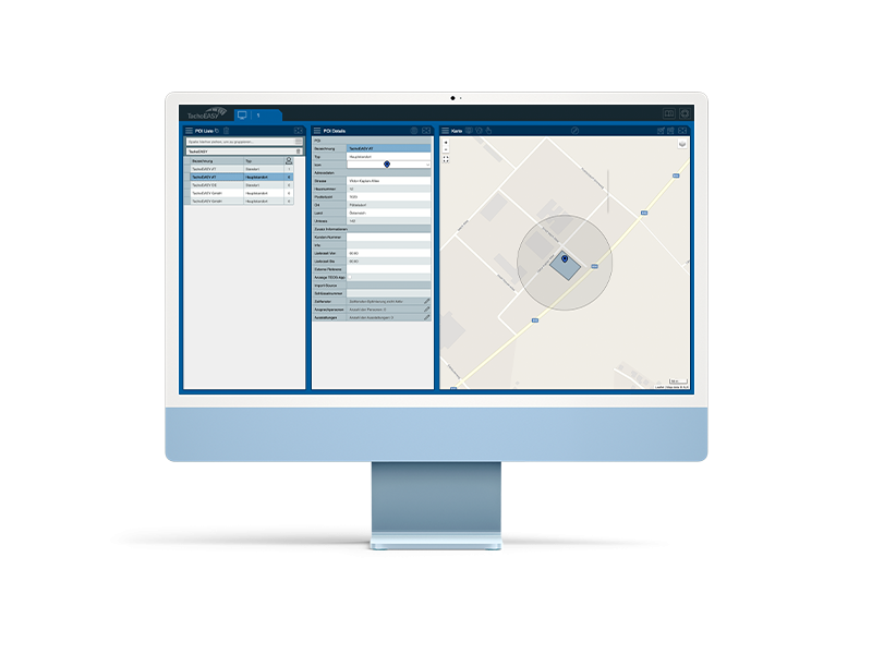
The so-called "Points of Interest" (POIs) are named locations with geographic coordinates. POIs have a radius, which can be defined either as a circular radius or as a polygon. Utilize POIs to set up "catchment areas" for customers or delivery zones, triggering events and notifications in BlueLOGICO automatically when a truck enters. Creating a POI as a polygon, especially in densely populated areas, prevents false alerts when a truck passes nearby (for example, if a warehouse is located near a highway, this prevents every passing truck from triggering an alert).
Moreover, POIs can include persons in charge along with their contact information, allowing the driver to have relevant data at hand on the DriverDisplay. POIs can also be associated with facilities, enabling easy communication between the driver and dispatcher regarding the customer's amenities, such as whether the customer has a scale for loading and unloading.
Additional features of BlueLOGICO®
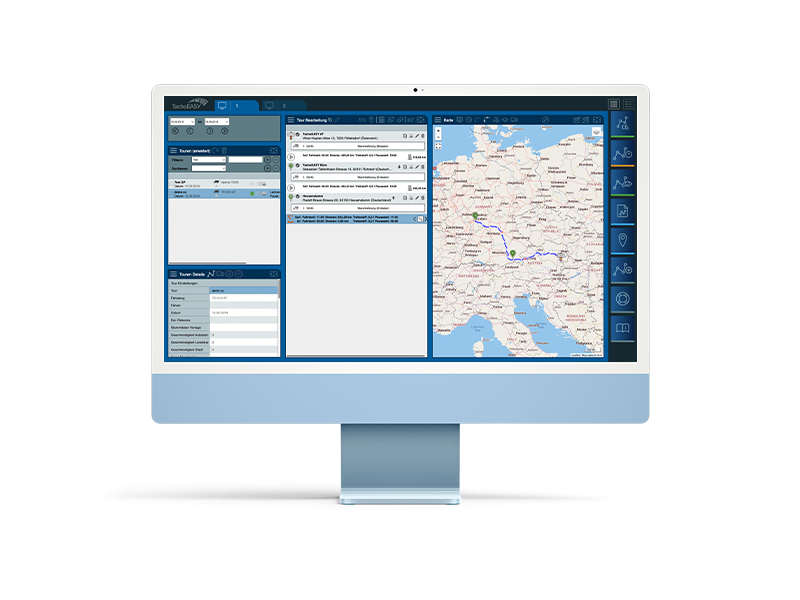
AD Hoc Planung
Trailer-Ortung
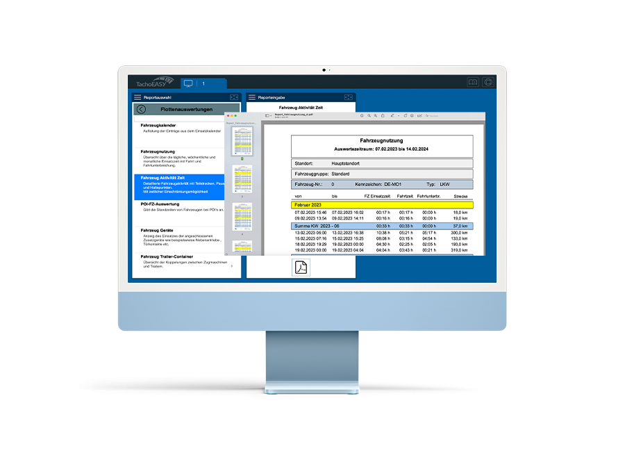
Fleet analysis
